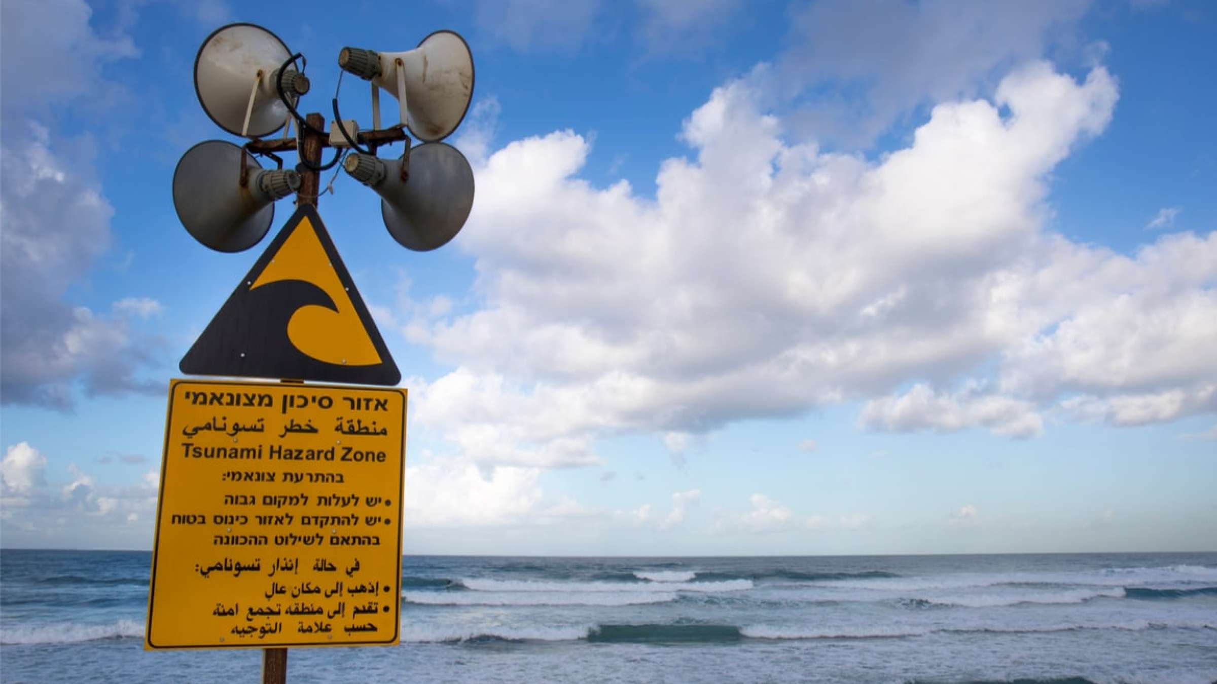
Due to the rapid progress and great danger of tsunami disasters, many countries have introduced tsunami warning systems. Their role is to provide as accurate and timely information as possible about the threat.
A survey conducted on the North Island's east coast in 2015 found that despite a high level of public awareness of tsunami hazard, there was still plenty of room for improvement in public evacuation intention.
The first extensively documented air pressure–driven meteotsunami on one of the Great Lakes presents an opportunity to use existing weather models to predict them.
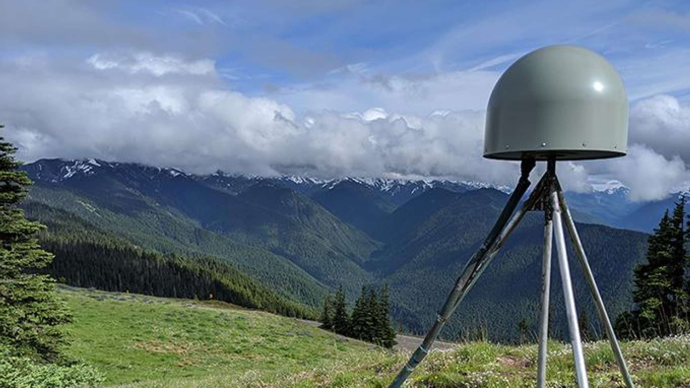
Researchers have developed a global earthquake monitoring system that uses the Global Navigational Satellite System (GNSS) to measure crustal deformation.
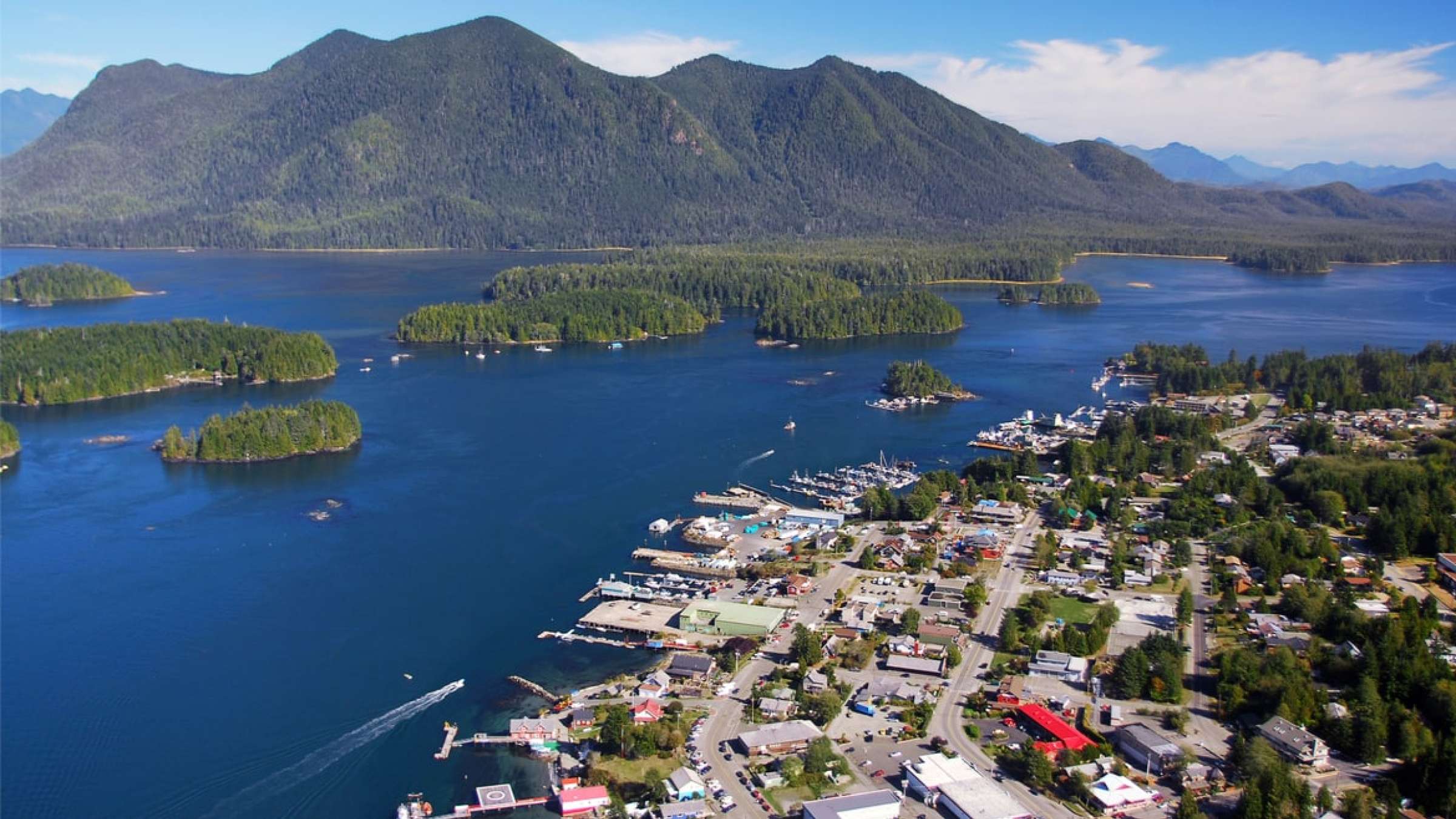
From blowing conch shells to ringing church bells and sending mobile phone alerts, Caribbean countries are looking at high and low-tech ways to alert citizens to run for safety in the face of tsunamis which could wreak havoc on unprepared communities.
United Nations Office for Disaster Risk Reduction – Regional Office for the Americas and the Caribbean