A survey conducted on the North Island's east coast in 2015 found that despite a high level of public awareness of tsunami hazard, there was still plenty of room for improvement in public evacuation intention.
Wei Zhang used GIS and statistical data to construct a novel model of tsunami damage in Fairfield, CT. The model can easily transfer to other storm types and communities.
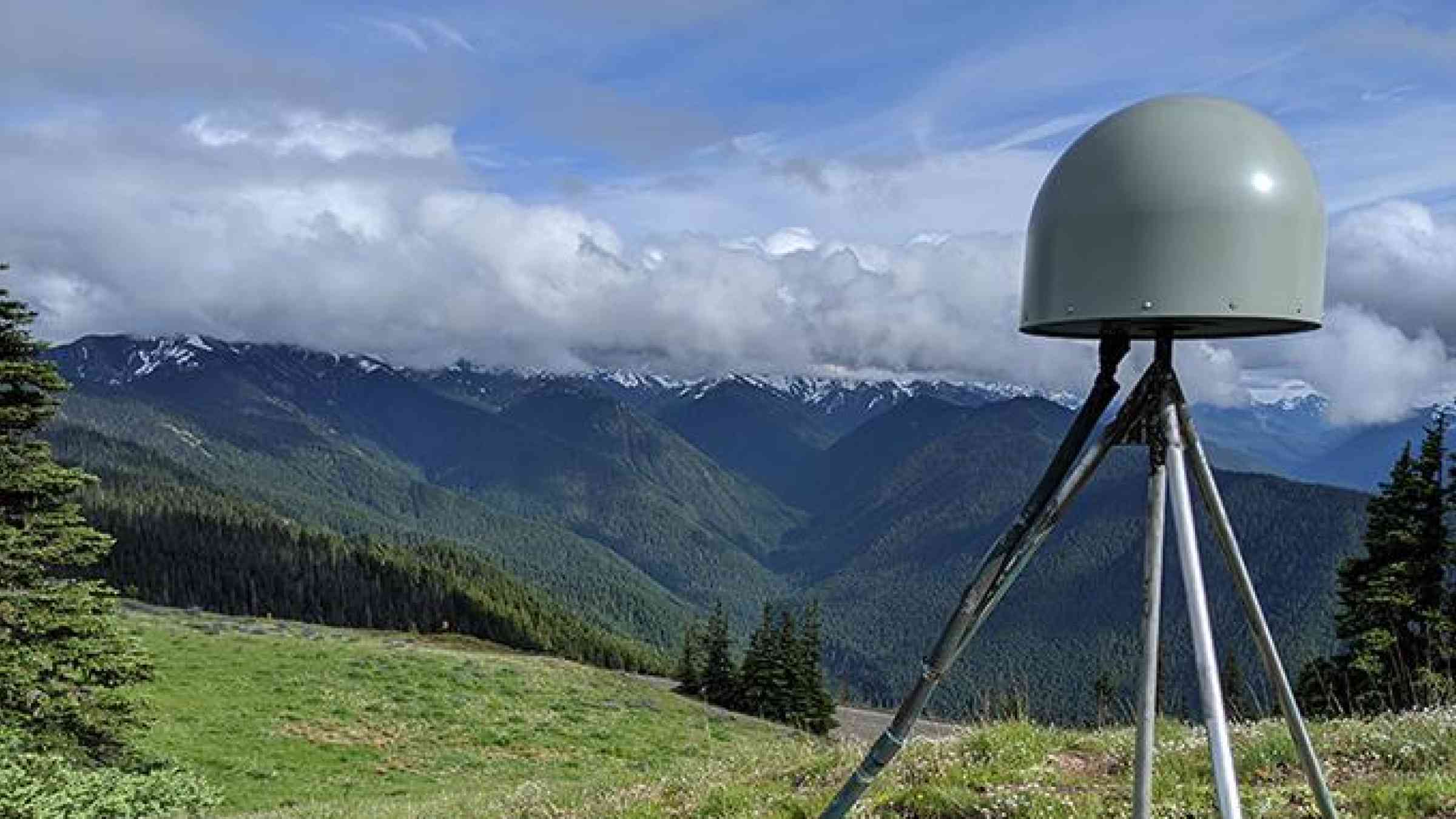
Researchers have developed a global earthquake monitoring system that uses the Global Navigational Satellite System (GNSS) to measure crustal deformation.